The storm finally arrived in Bakersfield early Tuesday evening.
The storm was expected to bring significant rainfall to areas in the San Joaquin Valley after a dry January and even drier February, according to the National Weather Service’s Hanford office:
A system will approach the coast of California through Wednesday.
Significant rainfall is likely in the Kern County mountains and
desert Tuesday afternoon and Tuesday night, along with a chance of
stronger thunderstorms through this evening. This storm system
should stall just offshore of California Wednesday, before
shifting southward Wednesday night and Thursday. Another system
may potentially impact the region by the weekend.
About 6 p.m. a severe weather warning was broadcast over Kern County radio and television stations warning of possible tornadoes.
Heavy rain began around 5:30, then thunder and lightning started over Bakersfield Tuesday about 6 p.m.
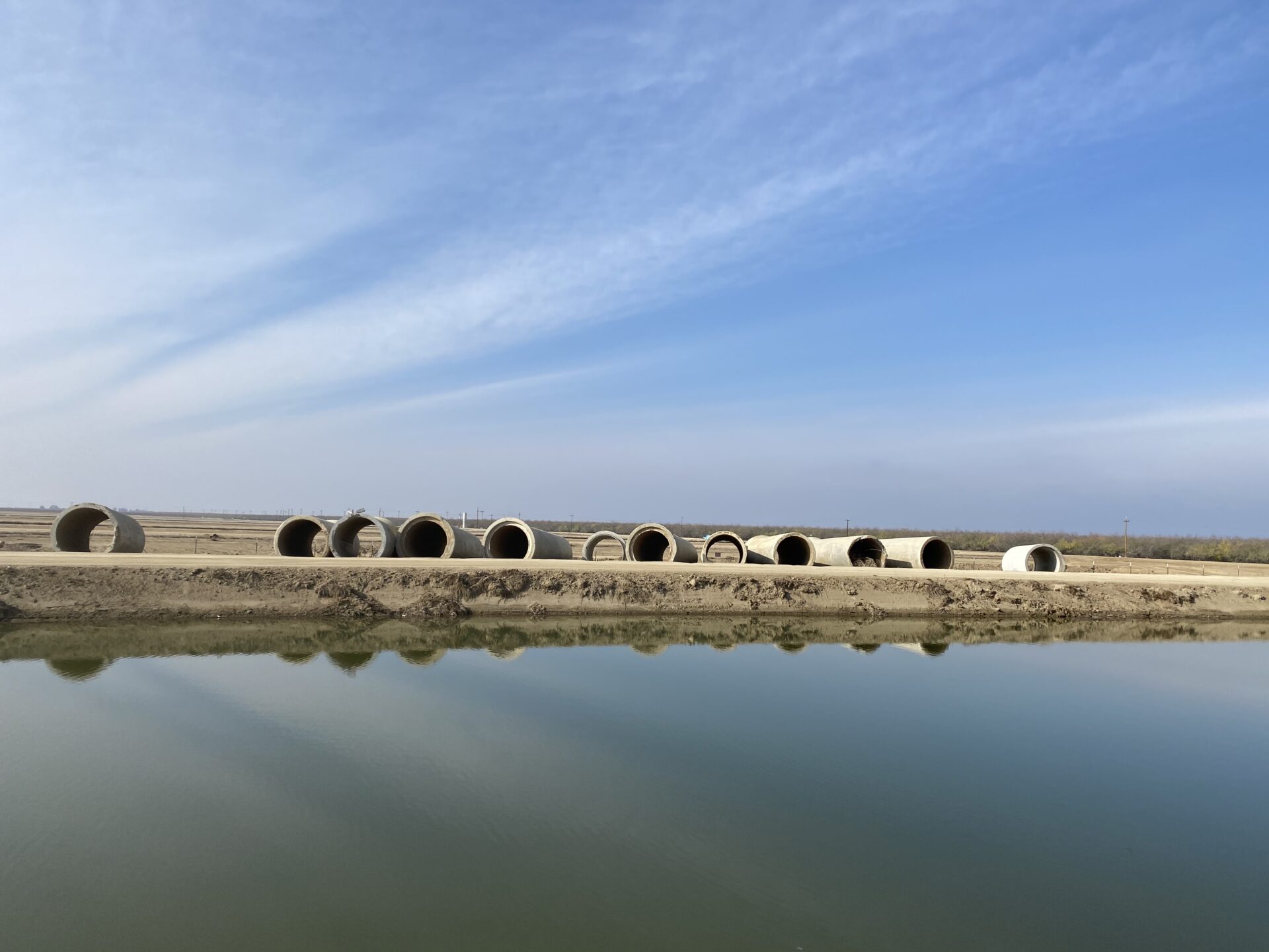
Before this week’s storm, the state’s snow pack was estimated at 40 percent of normal prompting water allocations of only 15 percent from both the federal and state water systems that bring water from the Sacramento-San Joaquin Delta to farms and cities in the south.
SJV Water will check back after the storm clears to see if those numbers change.
Stay tuned.
Share this:
- Click to share on Facebook (Opens in new window)
- Click to share on Twitter (Opens in new window)
- Click to share on LinkedIn (Opens in new window)
- Click to share on Reddit (Opens in new window)
- Click to share on Tumblr (Opens in new window)
- Click to share on Pinterest (Opens in new window)
- Click to share on Pocket (Opens in new window)
- Click to share on Telegram (Opens in new window)
- Click to share on WhatsApp (Opens in new window)
- Click to print (Opens in new window)