There are lots of new water gizmos popping up these days but there’s only one Google.
Which makes the massive tech company’s involvement in a proposed water measurement tool both intriguing and slightly suspicious to some agricultural water managers.
The same goes for another partner in the effort, the Environmental Defense Fund, a well-known advocacy group that has been at odds with farming interests in past years.
“EDF, yeah, that gives me a sense of pause,” said Jason Gianquinto, General Manager of the sprawling Semitropic Water Storage District in western Kern County. “But also Google. They’re not a nonprofit business. They’re talking about this tool being free right now. But if you do anything with it, you have to pay. There are just a lot of unknowns.”
He was talking about OpenET, a collaborative effort to create an online tool to measure evapotranspiration, or ET, across 17 western states down to the field level using numerous satellite-based and other calculation models.
Representatives with the Environmental Defense Fund, Google, NASA and the Desert Research Institute conducted the first public demonstration of the measurement tool during a media event on Tuesday. They expect the tool to be available for widespread use in 2021.
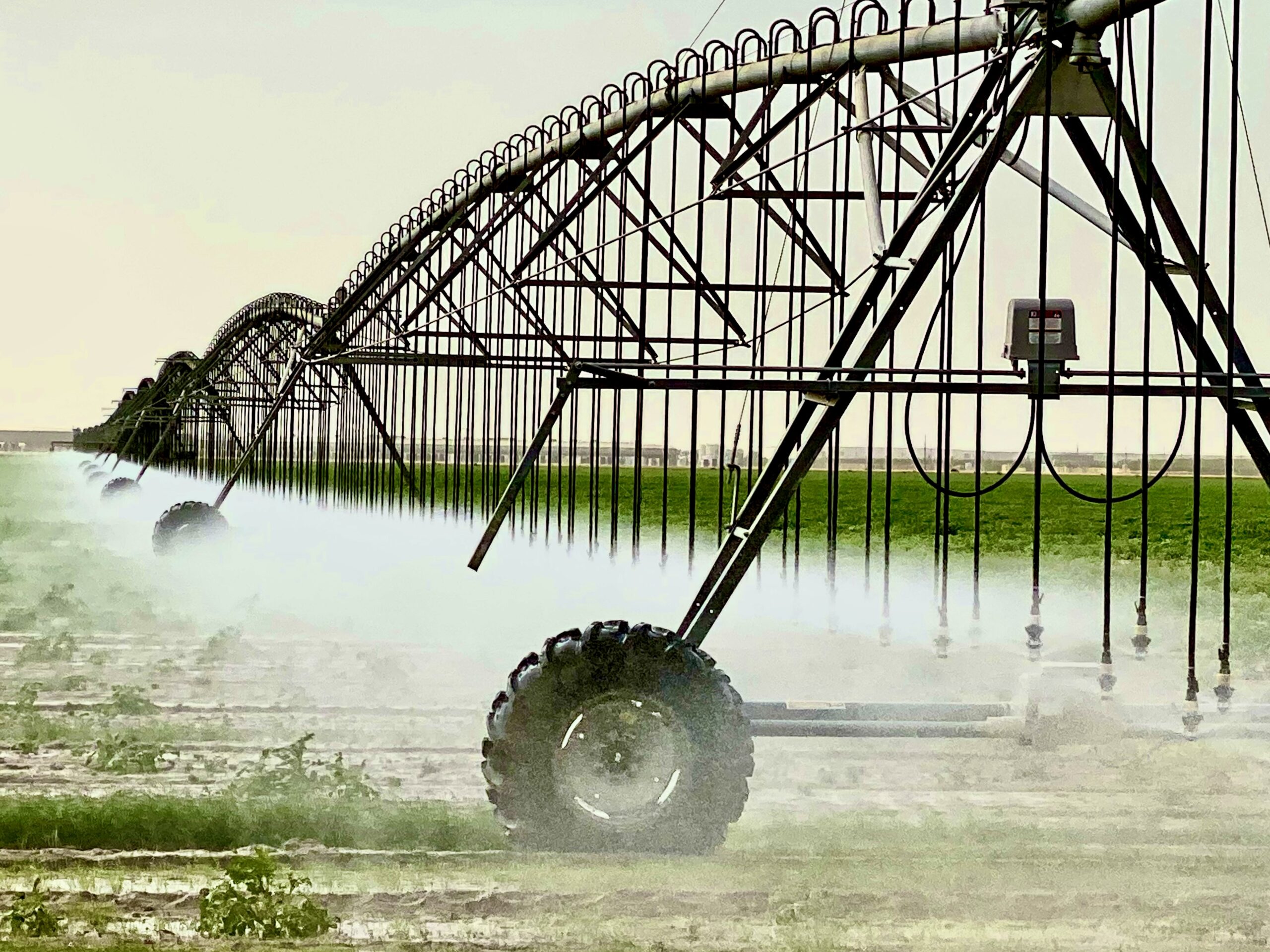
Evapotranspiration refers to water that gets sucked up by the atmosphere from plants and the ground during irrigation.
When every drop counts, as they do in the San Joaquin Valley, those ET drops need to be counted much more precisely. Particularly now, as water managers scramble to comply with the Sustainable Groundwater Management Act, which mandates California’s aquifers be brought into balance by 2040.
The lack of precise information on ET is considered by some to be a major data gap in water management. Estimates are that between 60% to 90% of irrigation water evaporates or transpires from the plant surface. So, getting a better handle on how much each crop actually uses can dramatically reduce water use.
“It’s like balancing your checkbook without knowing how much money you’re spending on a daily basis,” said Robyn Grimm, a senior manager for water information with the Environmental Defense Fund.

Water managers don’t disagree with that assessment.
But many in the San Joaquin Valley already calculate ET with the help of private engineering companies, researchers at the Irrigation Technology Center at Cal Poly, San Luis Obispo or through a series of state monitoring stations scattered throughout the valley.
Since OpenET won’t be available until next year, most water managers could only speculate about its usefulness.
“It doesn’t sound like they’re accessing any different ground stations or satellites,” said Eric Osterling, General Manager of the Greater Kaweah Groundwater Sustainability Agency. “But with Google involved, the information delivery will probably be done in a way we couldn’t have imagined.”
The power of Google’s “earth engine” to store massive amounts of data and allow nearly instantaneous sharing and analysis among researchers is what makes OpenET possible, said Forrest Melton, a senior research scientist with the NASA Ames Research Center.
“This would not have been possible five years ago,” he said Tuesday. “We’re not presenting just one model, but several models.”
That includes comparing OpenET information to ground-based data.
One Central Valley agricultural water district is already on board.
Rosedale-Rio Bravo Water Storage District in Kern County began using the OpenET data as part of its online water accounting software created with the Environmental Defense Fund in 2018. That system will also be used for an in-district water market if Rosedale-Rio Bravo is unable to meet its landowner’s demand.
“OpenET is a cost-effective way to provide landowners information regarding their water budget,” said Eric Averett, General Manager of Rosedale-Rio Bravo.
OpenET will be free, for the most part, according to Justin Huntington, a research professor of hydrology at the Desert Research Institute, and part of the OpenET team.
“Until now, ET calculation has been very site specific and very expensive,” he said during Tuesday’s demo. “The models have been proprietary. We don’t know what algorithms are used and it’s not been peer reviewed. That has resulted in confusion.”
OpenET will be, as its name implies, more open. And it will provide ET calculations using an “ensemble” of models.
“OpenET brings together many of the leading scientists and developers behind satellite-based estimation of ET onto one team, and is making public the models, assumptions, and inputs behind the estimates,” a fact sheet on the OpenET website states.
The information will be freely available to farmers of all sizes.
“Equal access is important,” Melton stressed.
Commercial users “retrieving large volumes of data,” however, will have to pay via a program interface. That cost wasn’t available Tuesday.
Osterling, Gianquinto and other water managers were interested in seeing what OpenET has to offer, but said it would have to be extremely robust to beat out the data from some private companies already working with water districts.
That includes LandIQ, which uses satellite imagery as well as ground sensors that it actually installs to make sure ET calibrations are correct.
“If you’re going to charge landowners money for water use, you better be as correct as possible about that use,” Gianquinto said.