Water watchers were anticipating a possible “drought busting” series of storms over the Christmas holidays after a strong assist from mid-December storms.
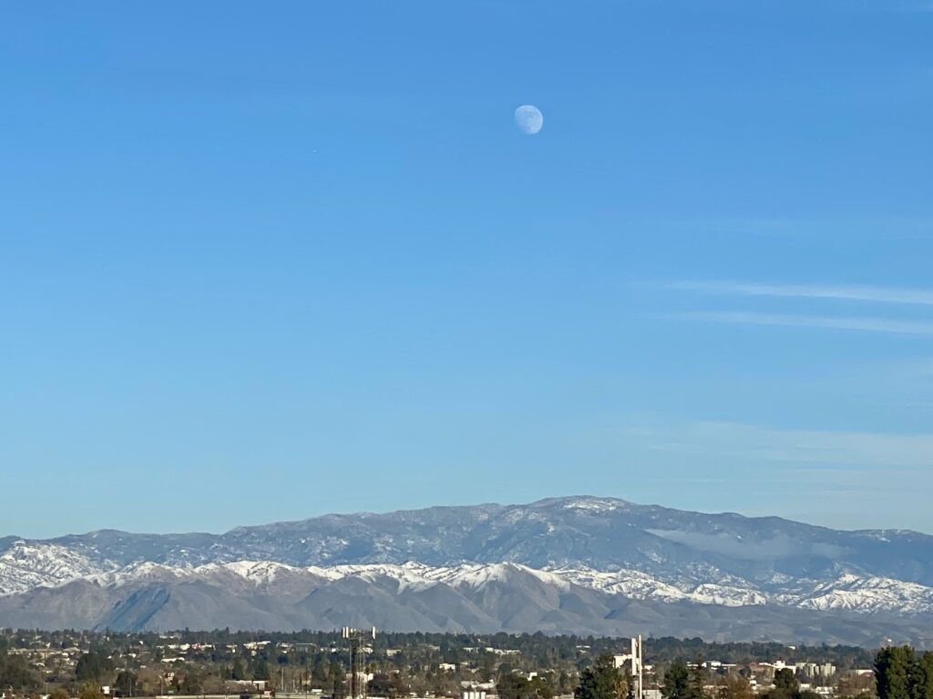
The Dec. 14 storm brought about one to two inches of rain to a lot of the San Joaquin Valley floor, said David Spector, forecaster at the National Weather Service’s Hanford station. It also dumped about two to four feet of snow at high elevations in the Sierra Nevada mountains which will help with water supply when that snow melts and runs off in the spring, he added.
The rain helped boost some reservoir levels too.
Folsom Lake, northeast of Sacramento, was at about 40% of its total capacity. But that’s 101% of its historical average for this time of year. Folsom provides water for irrigation and domestic use and is part of the Central Valley Project.
Millerton Lake, behind Friant Dam, was in even better shape at 62% capacity and 128% of its historical average for this time of year. Millerton is also a crucial supply for valley farms and communities. It also provides water for the federal San Joaquin River Restoration Program, which is charged with reintroducing spring-run Chinook salmon to the river.
“(Last) week’s storm has been a welcome and much needed event for the San Joaquin Basin,” wrote Don Portz, manager of the restoration program, in an email. The rain will help to reconnect the river where it runs dry and create more habitat for newly hatched salmon, he added. The storm has also moved the restoration program out of the two lowest water allocation levels for the coming year, ensuring more water for salmon this summer, wrote Portz.
“This is a good start,” wrote Michael L. Anderson, State Climatologist for the Department of Water Resources, in an email. “Reservoirs in the basin are adding some storage but the storms are colder storms so most of the upper watersheds are receiving snow.”
There is more to come. Over the holiday rain and snow is expected to wallop California.
Share this:
- Click to share on Facebook (Opens in new window)
- Click to share on Twitter (Opens in new window)
- Click to share on LinkedIn (Opens in new window)
- Click to share on Reddit (Opens in new window)
- Click to share on Tumblr (Opens in new window)
- Click to share on Pinterest (Opens in new window)
- Click to share on Pocket (Opens in new window)
- Click to share on Telegram (Opens in new window)
- Click to share on WhatsApp (Opens in new window)
- Click to print (Opens in new window)


