
Throughout a recent tour of key water sites in the San Joaquin Valley, flooding, historic wet conditions and preparation for runoff from record-breaking snowpack were the main topics at almost every stop.
The tour is one of several offered by the nonprofit Water Education Foundation.
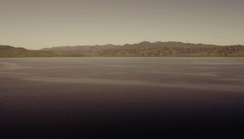
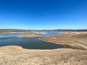
San Luis Reservoir
The first stop was San Luis Reservoir which holds more than two million acre feet of federal and state water for agriculture and cities. The reservoir is completely full which hasn’t happened since 2019. It’s been full 23 times since it was constructed in 1969.
The biggest concern for operators these days is runoff pending in the Sierra Nevadas.
It’s an “almost unmanageable snowpack,” said Levi Johnson, deputy operations manager for the Bureau of Reclamation’s Central Valley Operations Office.
Water is being sent to water users south of the delta as people try to find more places to put the excess water, Johnson said.
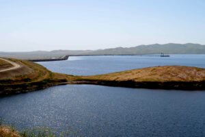
San Luis National Wildlife Refuge
The San Luis National Wildlife Refuge normally receives water from the federal Central Valley Project. But this year, the refuge will take as much flood water as it can, said Jack Sparks, outdoor recreation planner for the U.S. Fish and Wildlife Service. The land will, “act like a sponge,” and help absorb excess water, he said.
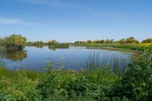
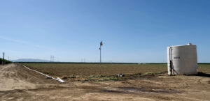
Del Bosque Farms

Farmer Joe Del Bosque grows a range of crops including melons, cherries, tomatoes and almonds, on the west side of the San Joaquin Valley. There is quite a bit of fallow land in the area because of the past three years of drought, said Del Bosque.

Del Bosque said he is very thankful for the rain from the string of storms over winter. The storms provided free irrigation, cleaned out the soils and pushed down salts. But they were late in the season which pushed back planting, he said. Still, that’s better than not being able to farm at all, he added, which is the case for many whose land was flooded.
Because flood water is covering a large portion of the Tulare Lake bed, demand for tomatoes has increased, said Del Bosque.
Another issue is pollination. Growers use bees to pollinate almond trees. But the long cold winter this year might have impacted pollination, Del Bosque said.
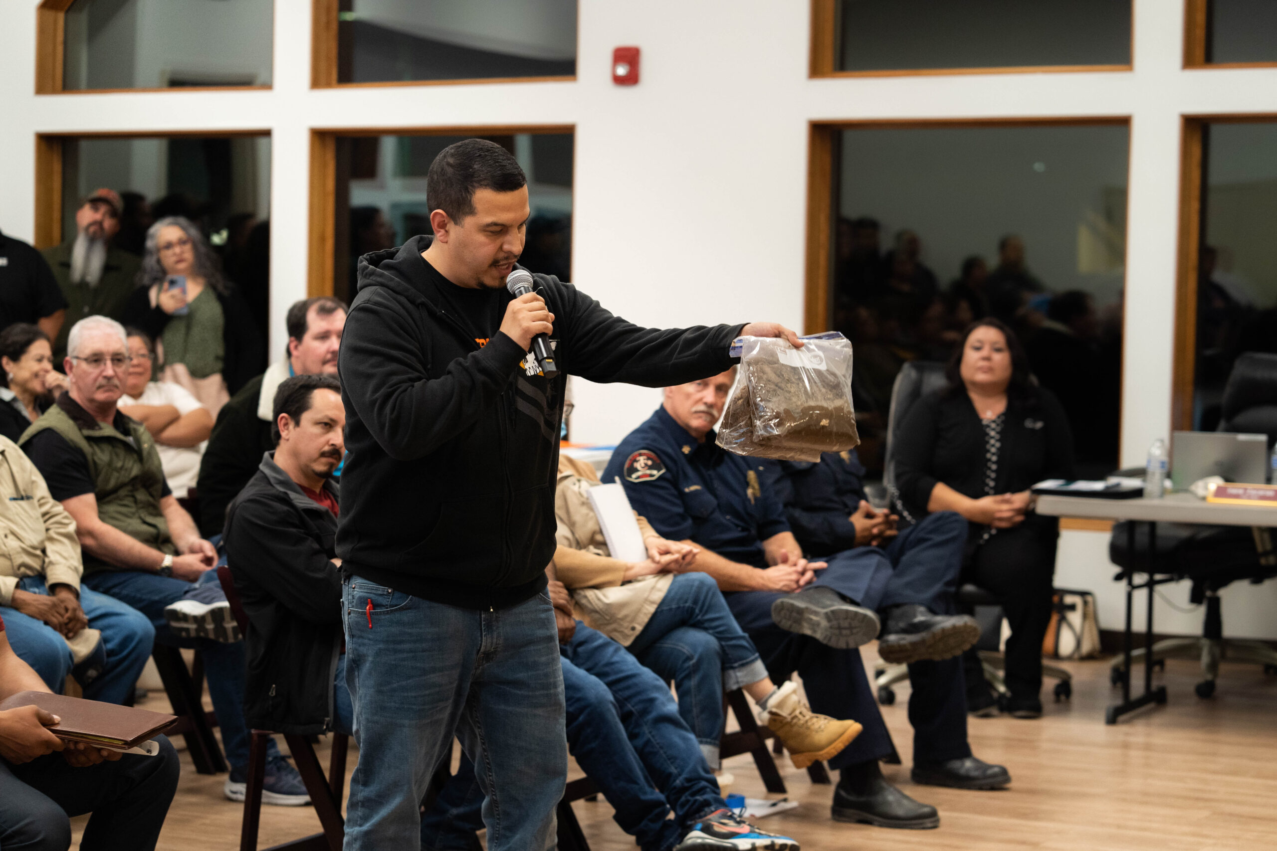
Allensworth
The historic Black town of Allensworth sits on what was the southeastern edge of the old Tulare Lake bed, which was drained for farming more than 100 years ago.
Residents in Allensworth have been plagued by water problems for years. Groundwater is contaminated with high levels of arsenic. The town has to get water from wells miles outside of the community. The state Water Resources Control Board awarded the community a grant for a new well and storage tank. But that was 12 years ago and the process is still ongoing because of bureaucratic delays.
And even though the town sits on one of the highest locations in the old lakebed, in March it was surrounded by floodwater and under an evacuation order. Water gushed in toward the town and residents were largely left on their own to figure out what to do.
Now, community members fear what’s to come when the historic snowpack melts and inundates rivers with water again, said Dezaraye Bagalayos, director of program coordination at nonprofit Allensworth Progressive Association. The community center has become the town’s emergency command post, filled with supplies for residents who needed basics such as diapers or water, during the last serious flooding in March.
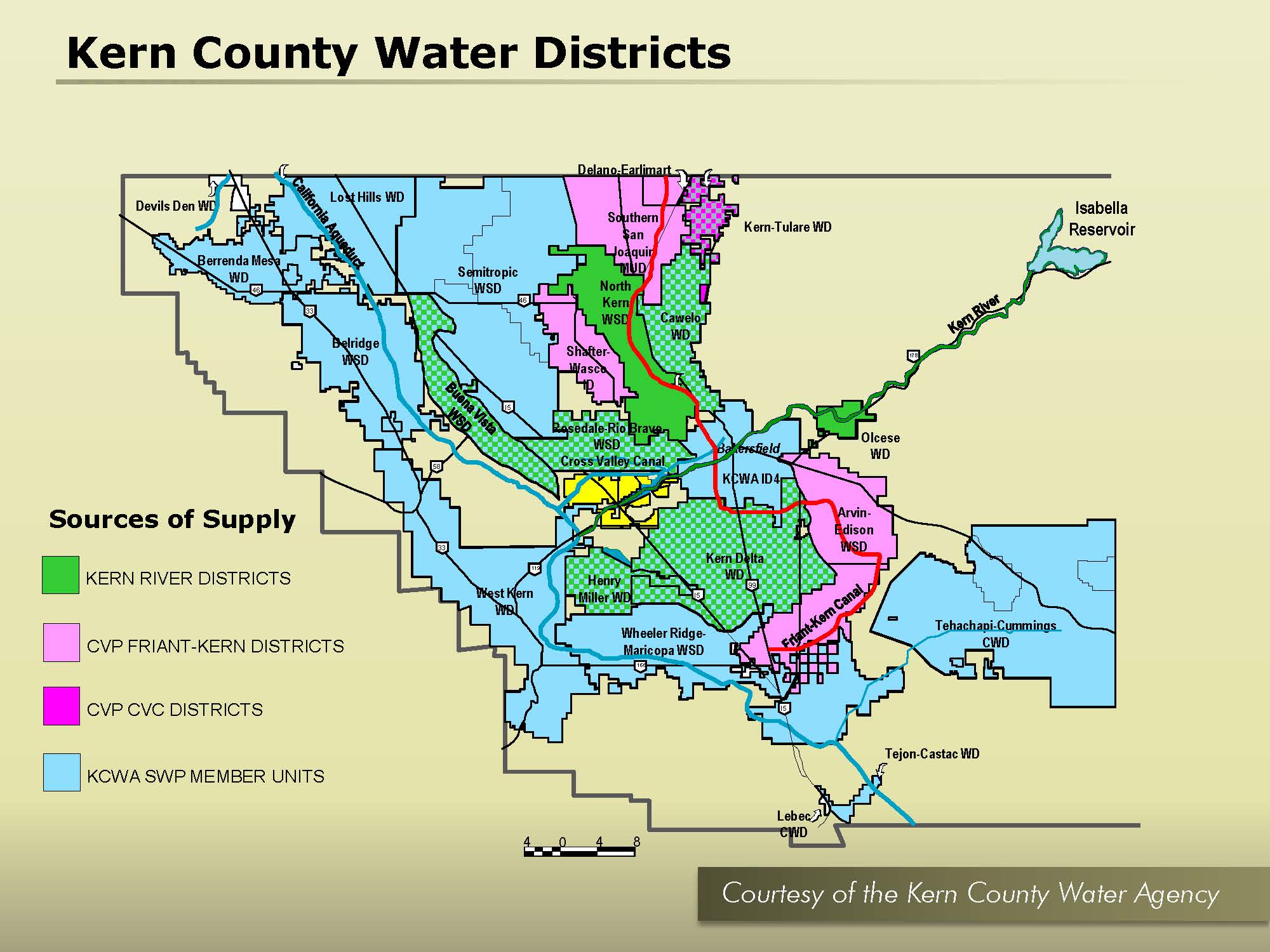
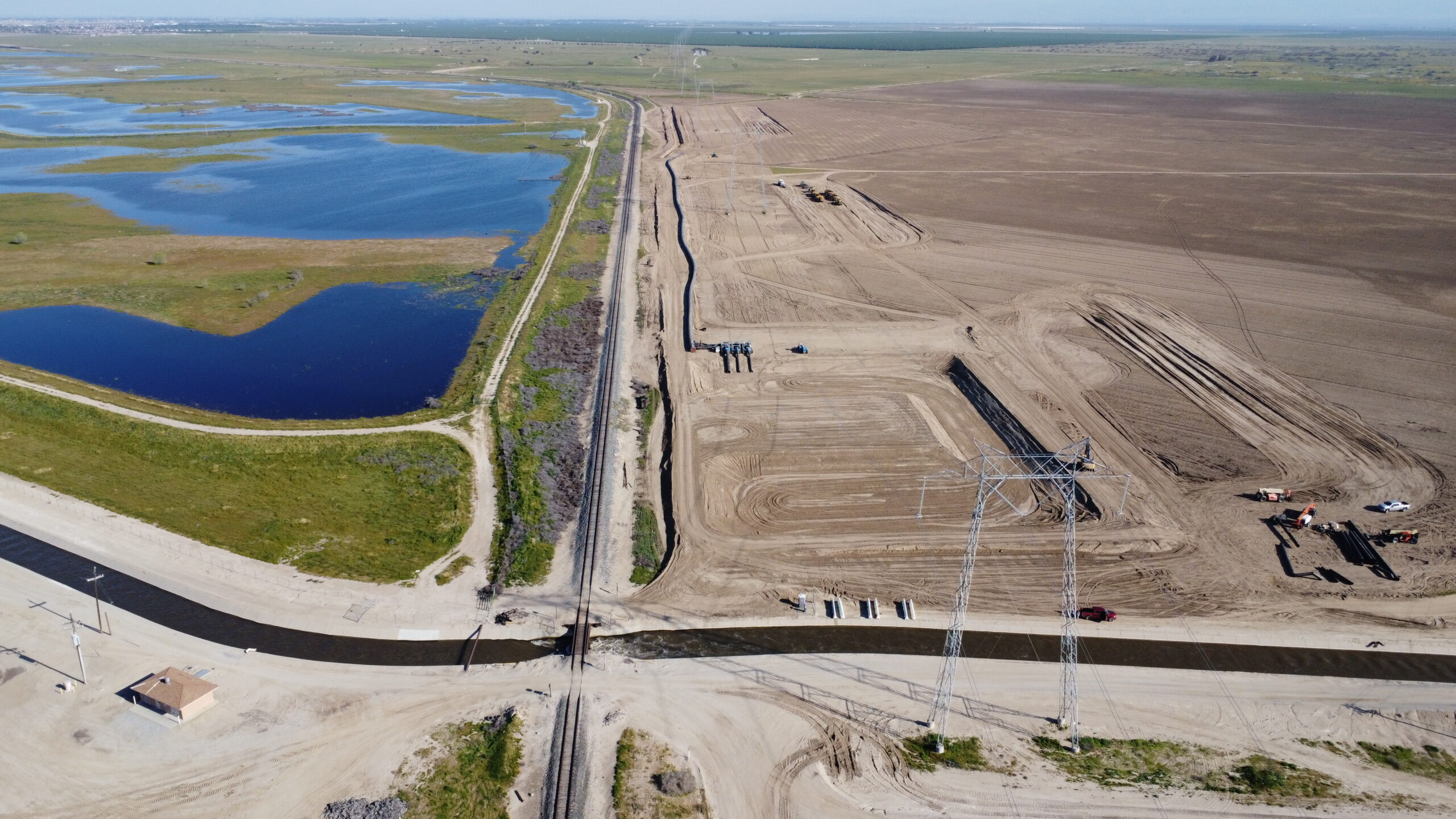
Kern Water Bank
The Kern Water Bank can store up to 1.5 million acre feet of water underground for its participating agencies. It’s a direct recharge project where water is put into the ground through basins and can later be reclaimed, said Jon Parker, general manager of the authority.
This year, it didn’t start recharging until about February but Parker estimates the bank may be able to put about 600,000 acre feet in the ground due.
The bank gets 59% of its water from the State Water Project, 28% from the Kern River and 13% from the Central Valley Project.
The authority will probably be taking Kern River water all year because of how high flows are, said Parker.
“We’re taking every drop of water we can,” said Parker.
Lake Kaweah/Terminus Dam
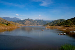
Tulare County was inundated with water throughout March. Yokohol Creek, which normally doesn’t have much of a flow, flooded everywhere it could this year and destroyed homes and other property, said Mark Larsen, the Kaweah River Watermaster. The creek was running about 20 times above normal.
Lake Kaweah has a capacity of 186,000 acre feet. That’s in part because of the enlargement project which started in 2004 and took more

than 20 years to finish. It boosted the lake’s capacity up from 143,000 acre feet.
Fuse gates were also constructed to raise the spillway more than 20 feet. In a thousand-year flood, the fuse gates are designed to lift and
tumble out of the way one by one to allow for the passage of floodwater. But that won’t happen unless there is “biblical” flooding, said Larsen. It would probably take a flow of more than 160,000 cubic feet per second.
After the string of storms in March, Lake Kaweah was full and water went over the top of the spillway. Managers drained the lake down to 30,000 acre feet to make room for the historic snow melt on its way. Without the enlargement project, the flooding would have been much worse, said Larsen.
Consolidated Irrigation District

Consolidated Irrigation District in Fresno County gets all of its water from the Kings River. The district has about 1,400 acres of recharge ponds and managers are focused on putting as much water into the ground as possible. Since February 23, they’ve been putting 1,900 acre feet into the ground per day, according to Phil Desatoff, general manager of Consolidated Irrigation District.
The geology in the district is unusually good for sinking water into the ground, said Desatoff.
In a typical year the district gets 280,000 acre feet from the river. This year they’re expecting more than 500,000 acre feet.
Friant Dam
Like Lake Kaweah, Millerton Reservoir above Fresno has been drawn down to make room for incoming snow melt. It was drawn down to about 150,000 acre feet. Its total capacity is half a million acre feet.
Inflow to Millerton is already often greater than outflow, said Dan Cavanaugh, operations chief at Friant Dam for the Bureau of Reclamation.
The emergency spillway may be necessary in June or July, he said. If all goes well, Millerton will fill and barely dribble over the top of the spillway, said Cavanaugh.

You must be logged in to post a comment.